
Omeka S
Alabama Digital Humanities Center | DH Toolkit

Alabama Digital Humanities Center | DH Toolkit
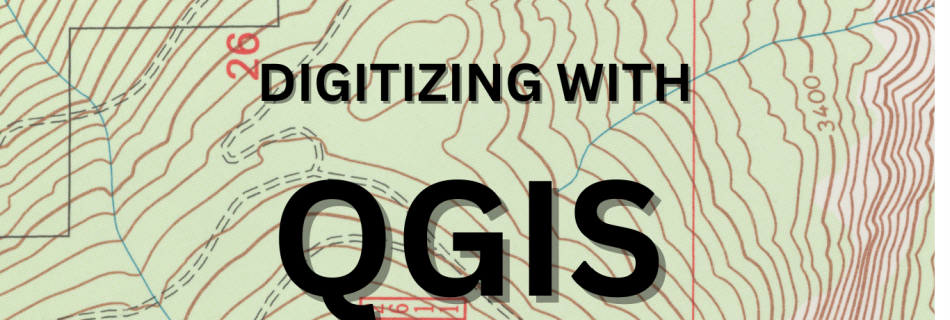
This workshop is about digitizing features from a georeferenced map, which is the second step in creating a GIS map file of the embedded geographic data in a paper map for the purpose of research and analysis. This tutorial follows our tutorial on georeferencing, so if you have not completed that step, check out the …

This workshop is about Georeferencing, which is the first step in our Introduction to GIS series. GIS means “Geographic Information System.” Georeferencing is a very technical activity but we are going to focus on the practical elements that will allow you complete the georeferencing task on a scanned image of a map. Georeferencing, in the …

Tool Description: QGIS is an open source geographic information systems platform that allows users to create maps, edit layers, process and analyze, and share content. As an open source tool, it boasts a large and active user community and 2000+ plugins.
